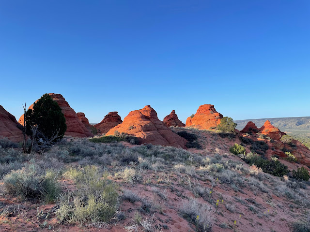
In Fall 2022 I had visited White Pocket (see Escalante Sundry IV) passing by the Coyote Buttes South area. This is an access-restricted area South of the famous “Wave” in Coyote Buttes North. This Spring I found myself somewhat unexpectedly in Southern Utah again and thought that I should try to get a permit for Coyote Buttes South.
There is a lottery via recreation.gov that you can enter on a short time horizon if you are located in the area between Mt. Carmel Junction, Page, Kanab. You pay $9 to participate in the lottery. Submit your application before 6 PM and shortly after 7 PM you will find out whether you won. If you did, you have to accept your win online at recreation.gov by 8 AM next morning and pay your $5 permit fee. You then have to pick up your pass at the Kane County Office of Tourism along the main drag in Kanab on the left side as you head North (pay attention to current information for permit pick-up. The internet forgets little and the most prominently displayed information sends you to Kanab City Hall where you will not get your permit). They first process the winners of the Coyote Buttes North lottery, then the ones for Coyote Buttes South. You get a fancy blue piece of paper as your pass. This allows you to be in the Coyote Buttes South area next day (so this is a 2+ day process overall) until midnight (I would not take them up on that part of the offer. Get out with daylight, it is not that straightforward!).
As in Fall 2022 I made my way to Lone Tree TH, parked there and hiked in to the Paw Hole entry point, some three miles along a deeply sandy road. I camped among the pinion South of the TH parking lot, probably not entirely legally, but it’s easy to be discreet.
Early next morning, I entered Coyote Buttes South at Paw Hole TH with just a day pack, leaving my tent and the rest of the gear at my camp spot. The entire day was going to be spent walking through deep sand, keeping the load as light as possible while carrying a good deal of water was the correct choice.
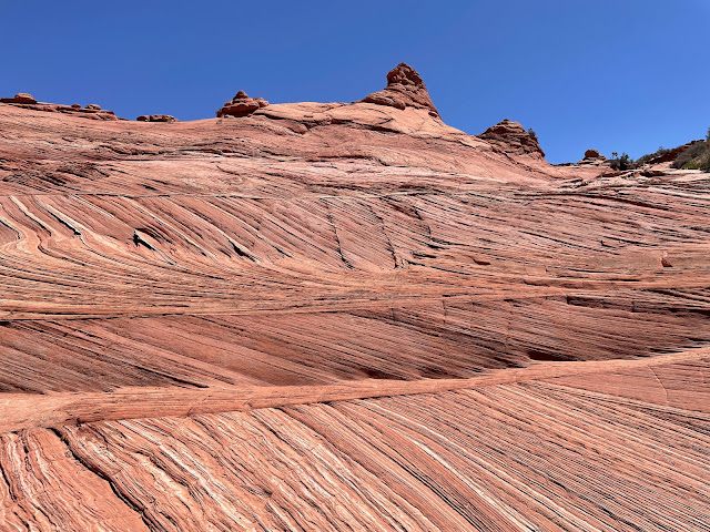
I made my way past Paw Hole to Sunset Butte passing by the famous sandstone fins or ribs. The wind and blowing sand have sculpted the sandstone, which is heavily layered in this area, eroding away the bulk stone and leaving behind thin sandstone ribs.
I then made my way slowly to a cliff overlooking the Cottonwood area, which is so large that you could spend an entire day there.
I made my way down the cliff and entered a slickrock wonderland that led me to the Cottonwood teepees, vaguely tent-like structures of sculpted sandstone with some amazing and very subtle coloring.
The striping in the rock gives you an incling of what "The Wave" looks like, but it's much more clean and geometrically wild there than here in Coyote Buttes South.
Now some of the teepees:
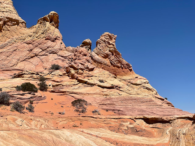
And lastly some of the other wild formations in the area:
This one is called "The World Cup" (I think)
In mid afternoon I made my way over to the road by which most normal people reach the site, they drive. Yours truly walks, just one of the many things wrong with me. I returned to the Paw Hole TH via Poverty Flat and the Sandhill Ranch airport along more deeply sandy roads. There is a reason I walk rather than drive. I can't afford to have my rental SUV towed out of the sand traps. The old saying is that "if you have to ask, you can't afford it". I know the tow truck would have to come from some 80 miles away. 'Nough said!


No comments:
Post a Comment